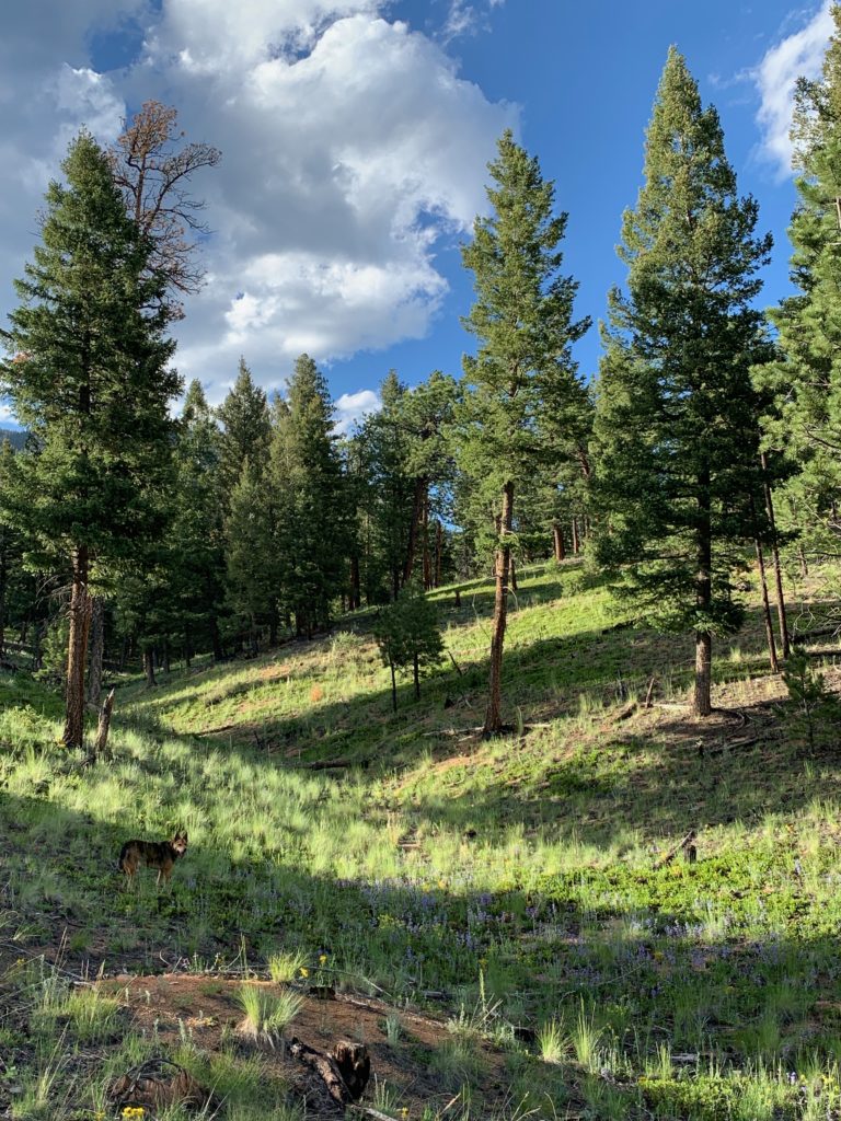
Wigwam Trail in the Lost Creek Wilderness Area offers an intimate rendezvous with Nature on the eastern slopes of Colorado’s Rocky Mountains in Pike National Forest.
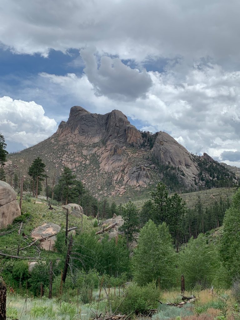
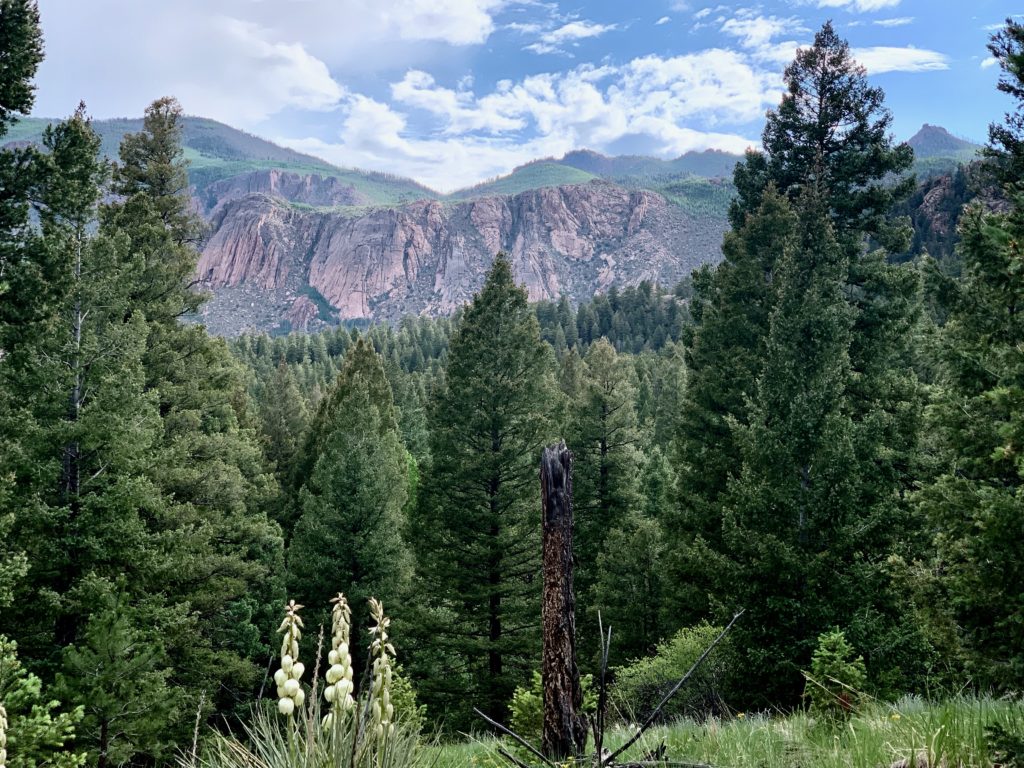
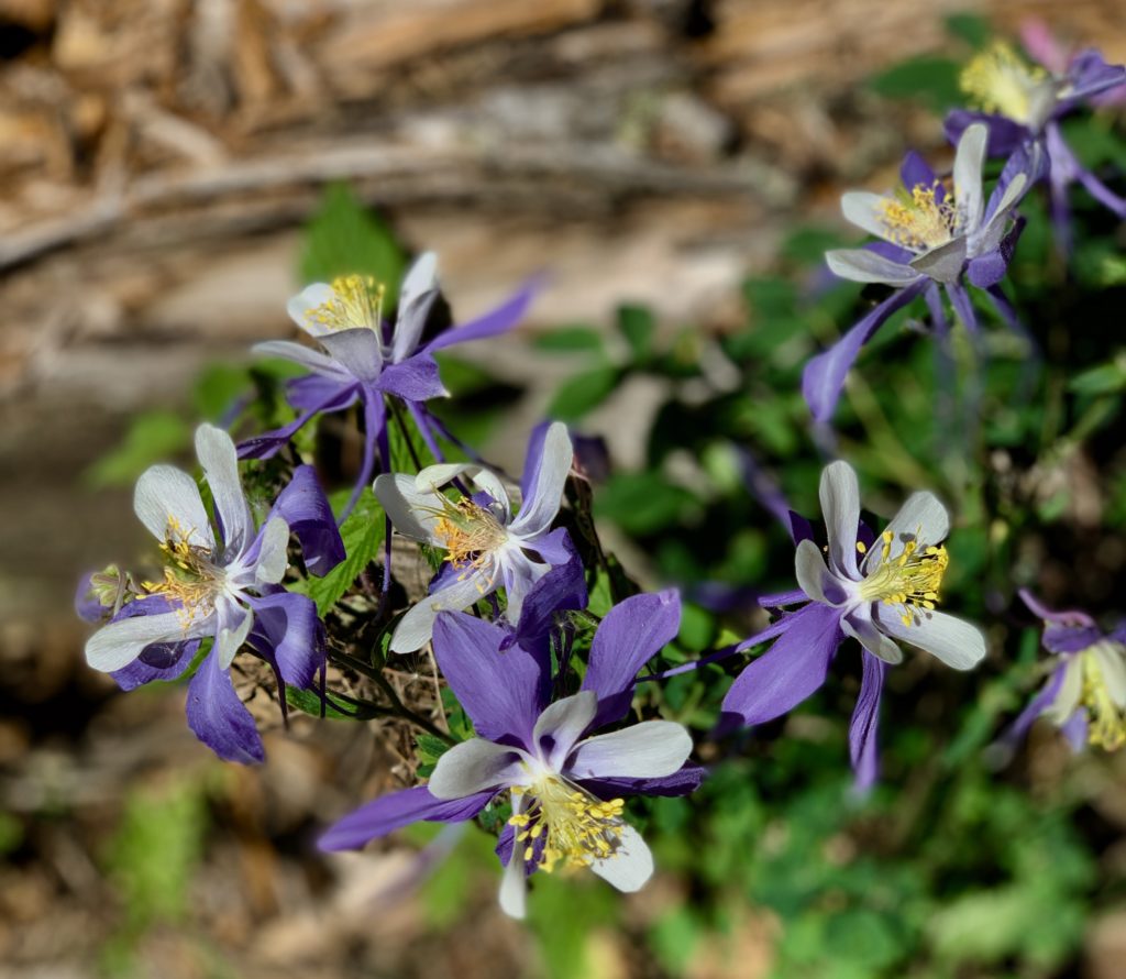
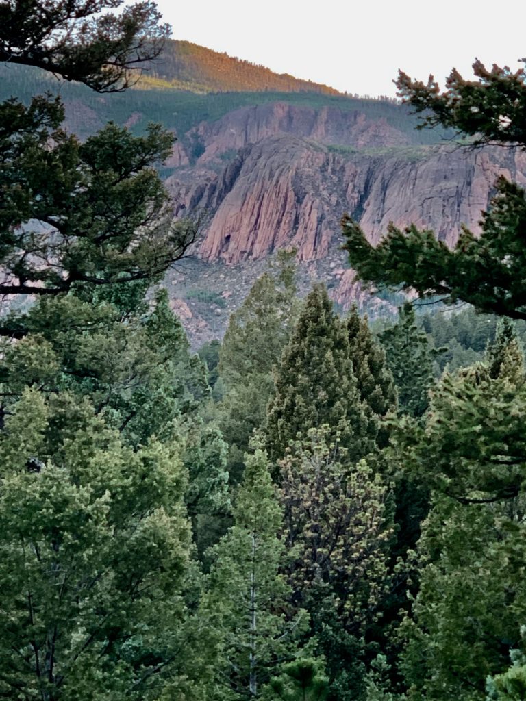
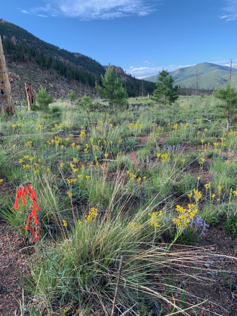
Towering, heavily wooded mountain peaks shelter peaceful valleys exploding with the colorful summer blooms. Rounded granite domes, knobs, spires, and arches tower over pristine creeks and rivers.
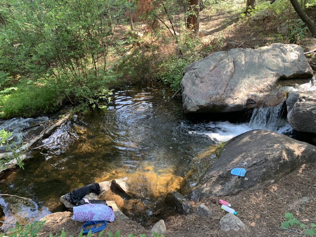
This winter’s heavy snows on the Platte River, Kenosha, and Tarryall Mountain Ranges overflow in runoff streams, suddenly disappear below granite rock piles and reappear a few hundred feet later. This unique feature is why the area is called Lost Creek.

Wildlife is abundant and I rarely saw people although I was plenty entertained.
The area hums with life night and day. Bighorn sheep, deer, elk, and bobcats share the region with
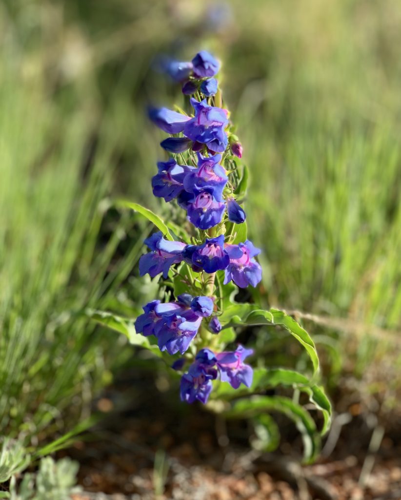
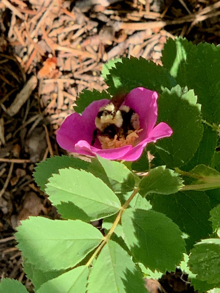
Vegetation includes a variety of pine, aspen, spruce, fir, and alpine tundra. Profuse blooming flowers with a backdrop of piney mountains fill the soul with wonder and gratitude.
Hiker’s Paradise
Wildlife is abundant, people are scarce, and 136 miles of hiking trails traverse this 120,000-acre paradise. Of those trails, 105 miles fall within the wilderness boundary where motorized vehicles are not allowed.
It’s hoof or foot travel only and Rocky and I had plenty of company, but never saw another human on the trails.
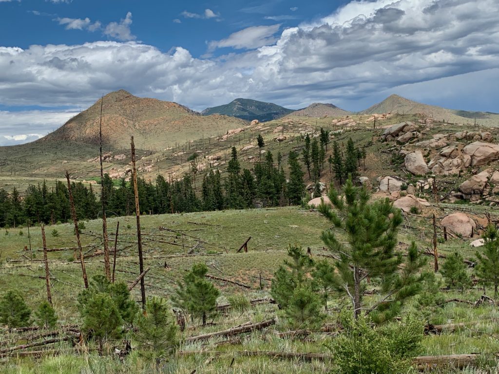
The mountains tower between 8,000 and 12,400 feet in the Lost Creek Wilderness Area in the Pike South Platte and South Park National Forest Ranger Districts between Denver and Colorado Springs.
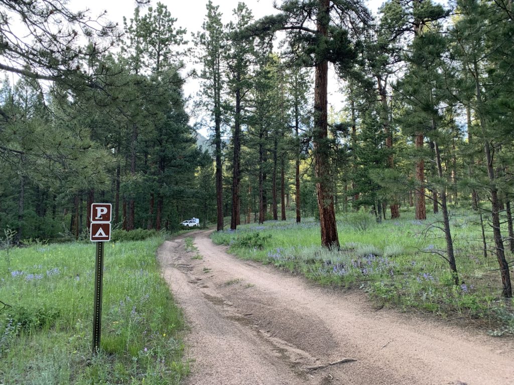
Wigwam Trail and Camping
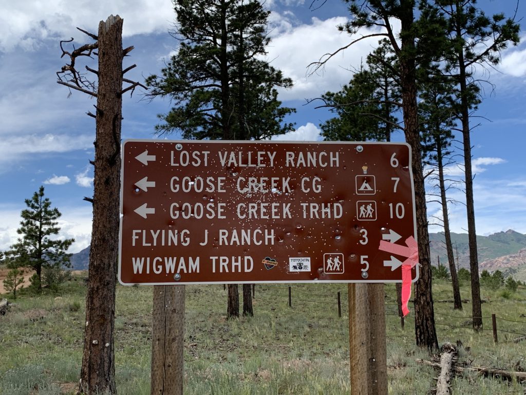
Wigwam Trail (#609) Dispersed Camping and Trailhead is a sheltered, heavily wooded trail paralleling Wigwam Creek through the Lost Creek Wilderness Area.
This moderate to difficult 11-mile trail has elevation ranges from 8,160 feet to 10,170 feet at Wigwam Peak.
This trail in the Lost Wilderness Area survived the fires of 2003 intact and now
Wigwam Trail (#609) intersects the north end of Goose Creek Trail (#612), and the south end of Rolling Creek Trail (#663). It accesses Lost Park Meadow and connects to the McCurdy Park Trail.
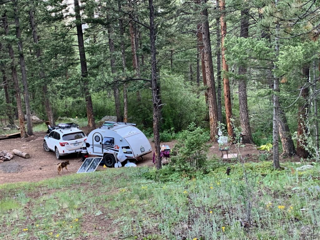
Dispersed Camping

Dispersed camping is available to set up base camp at the edge of the wilderness area.
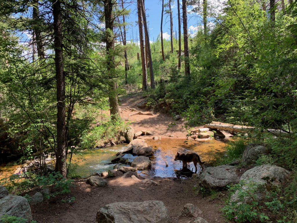
Backcountry water is available from Wigwam Creek that parallels the whole length of the trail. Lost Park Campground has potable water.
How to get there
Coordinates: N 39.244058°, W 105.353329°
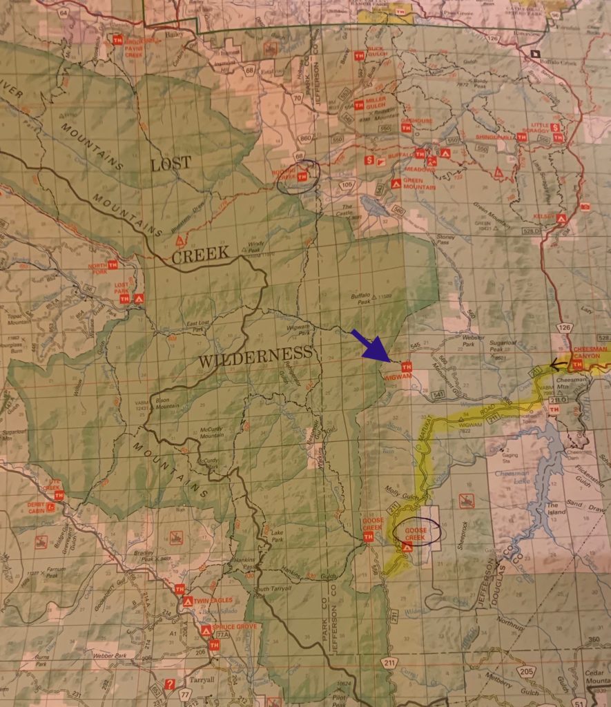
From Denver, take I-70 west to C 470 to US 285, traveling west for 23 miles to Pine Junction. Turn left at the town of Pine Junction onto Co 126, toward Pine and Buffalo Creek. Drive 21 .8 miles on Co 126. Turn left, traveling south on FS 211, which leads toward the Cheesman reservoir. Travel 2 miles and bear right at the sign pointing to Goose Creek. Drive 1.1 miles until you reach a fork, bear right on FS 560, and right at the next fork staying on FS 560. Drive 4 miles to the trailhead signs, turn left on FR 545, and drive 1 .3 miles to the trailhead.
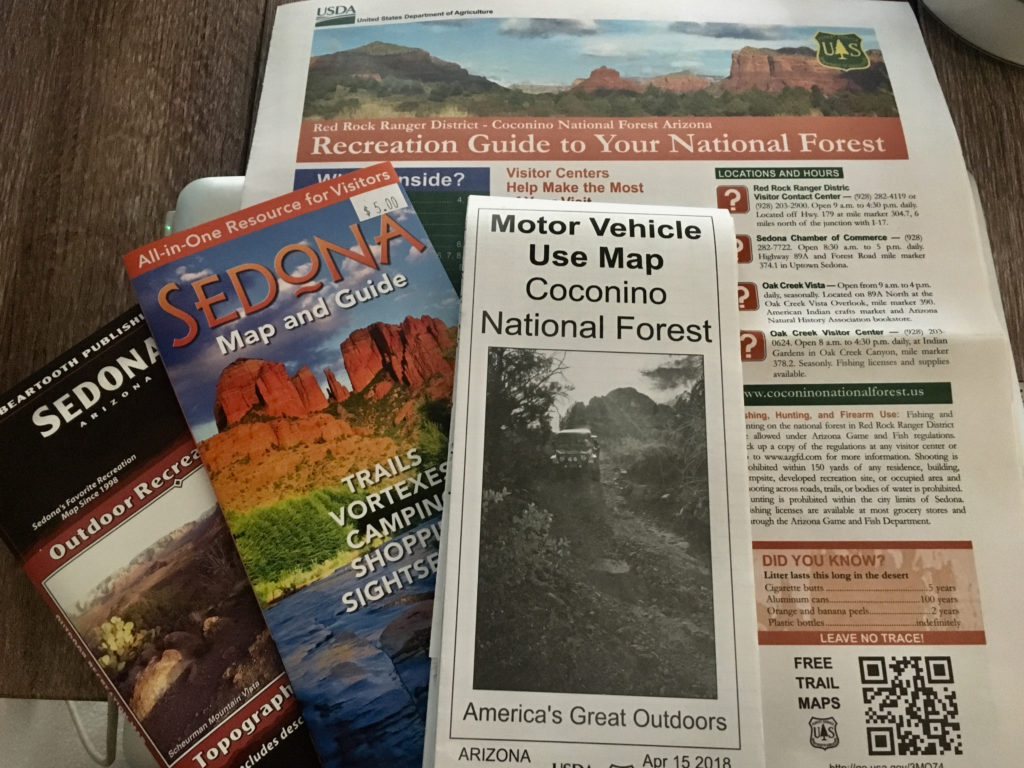

 But on Sunday Oak Creek Canyon reminds me of ants at a summer picnic. Sedona tourism has tripled in the last decade with over two million annual visitors. On any given weekend thousands pack the roadway, parking lots overflow both sides of the highway, and bumper-to-bumper one-lane traffic inches through the gridlock. The highway flows into downtown Sedona and every artery is an organized bottleneck thanks to abundant roundabouts.
 Take HW 89A west from Sedona to mile marker 365. Turn right on Forest Rd 525 – Red Canyon Road. From entry to Palatki Ruins are many clearly marked pullouts. Some can accommodate numerous rigs while others are perfect for a small tent.
 Mongollon Rim with Secret, Bear, and Lost Mountains on the east and Black, Sugarloaf, and Casner Mountains on the north and west.
 Like all of Sedona it can get crowded and it’s worth venturing past the first spots. The area has many
 that seem close enough to touch.
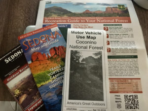

 National Forest campsites are larger than the
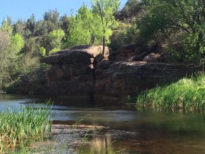
 It can accommodate small RV’s and tent campers on acres of open pasture and forested shade. Rates range from $20-$35/day. Camp Avalon is located at 91 Loy Lane in West Sedona off of 89A. Reservations available at
  The hiking trails of Sedona are some of the nations best so it’s worth the realities of camping in a heavy tourist area. The
