Wigwam Trail in Colorado’s Lost Creek Wilderness Area

Wigwam Trail in the Lost Creek Wilderness Area offers an intimate rendezvous with Nature on the eastern slopes of Colorado’s Rocky Mountains in Pike National Forest.

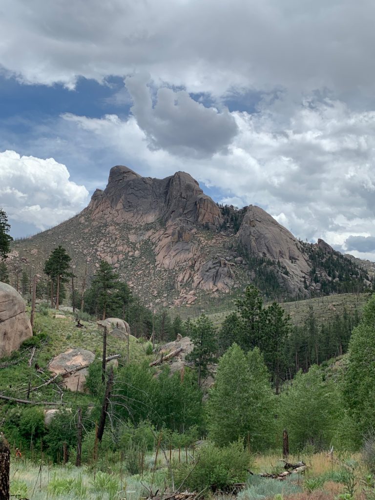
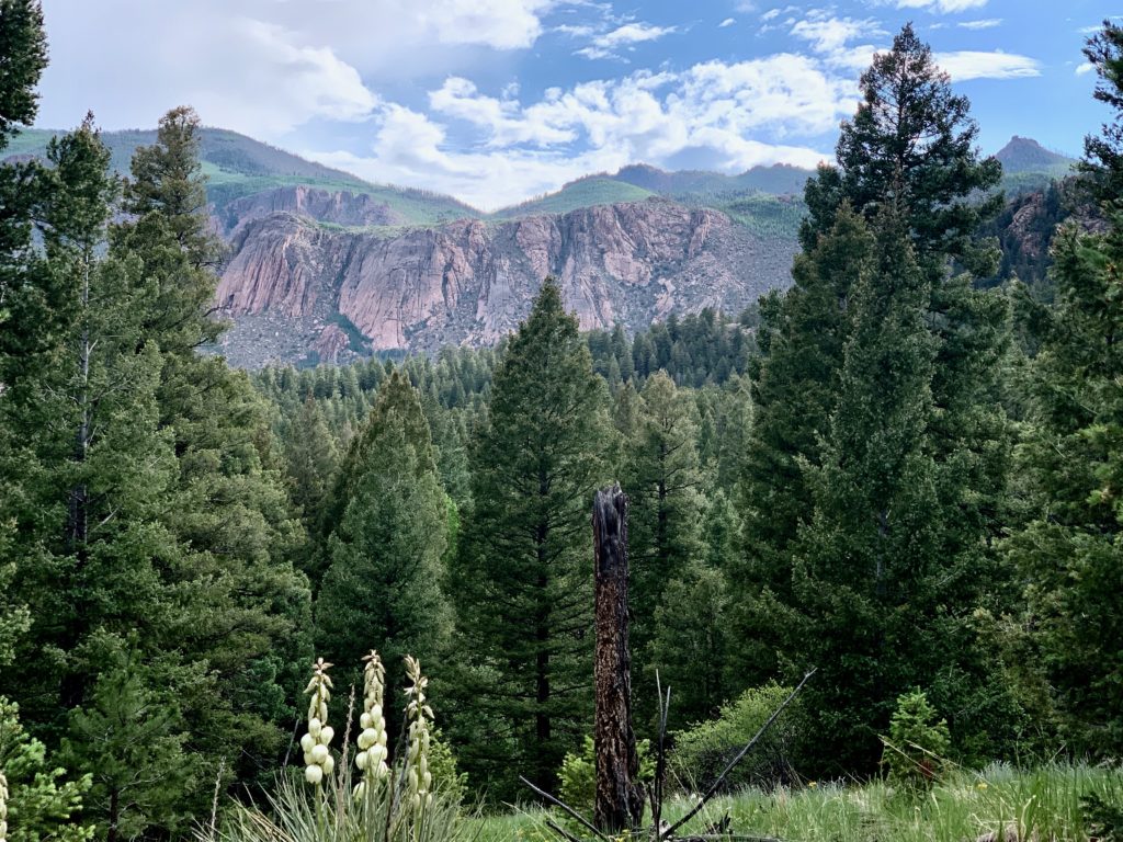
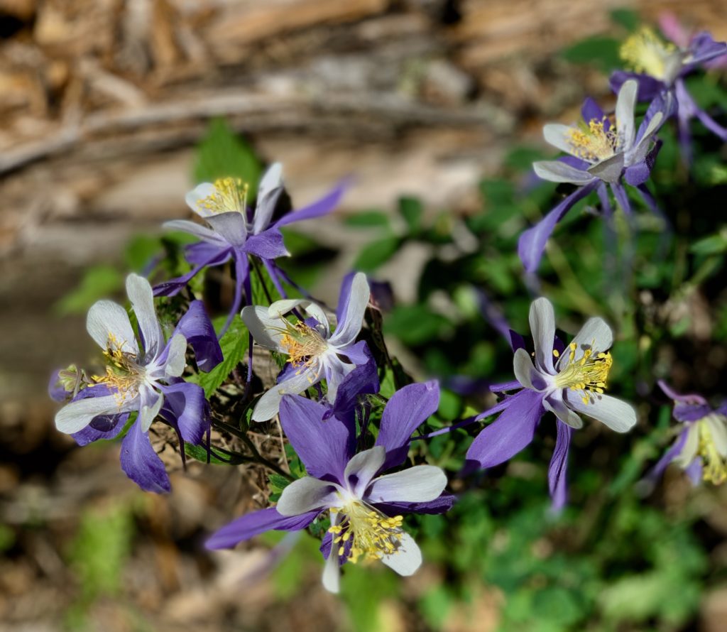
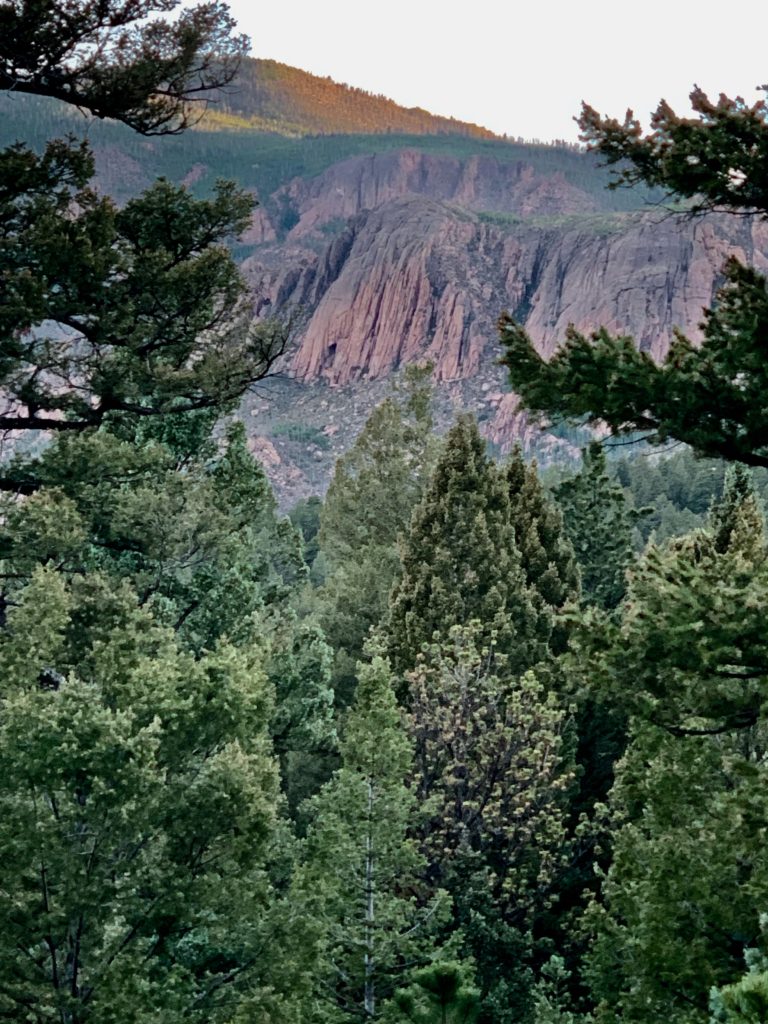
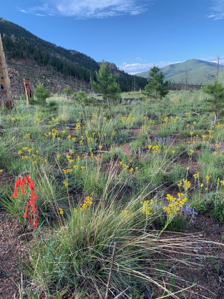
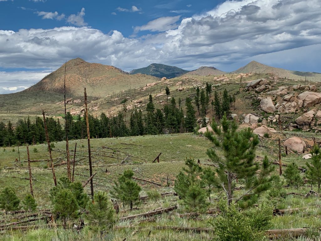
Towering, heavily wooded mountain peaks shelter peaceful valleys exploding with the colorful summer blooms.  Rounded granite domes, knobs, spires, and arches tower over pristine creeks and rivers. 

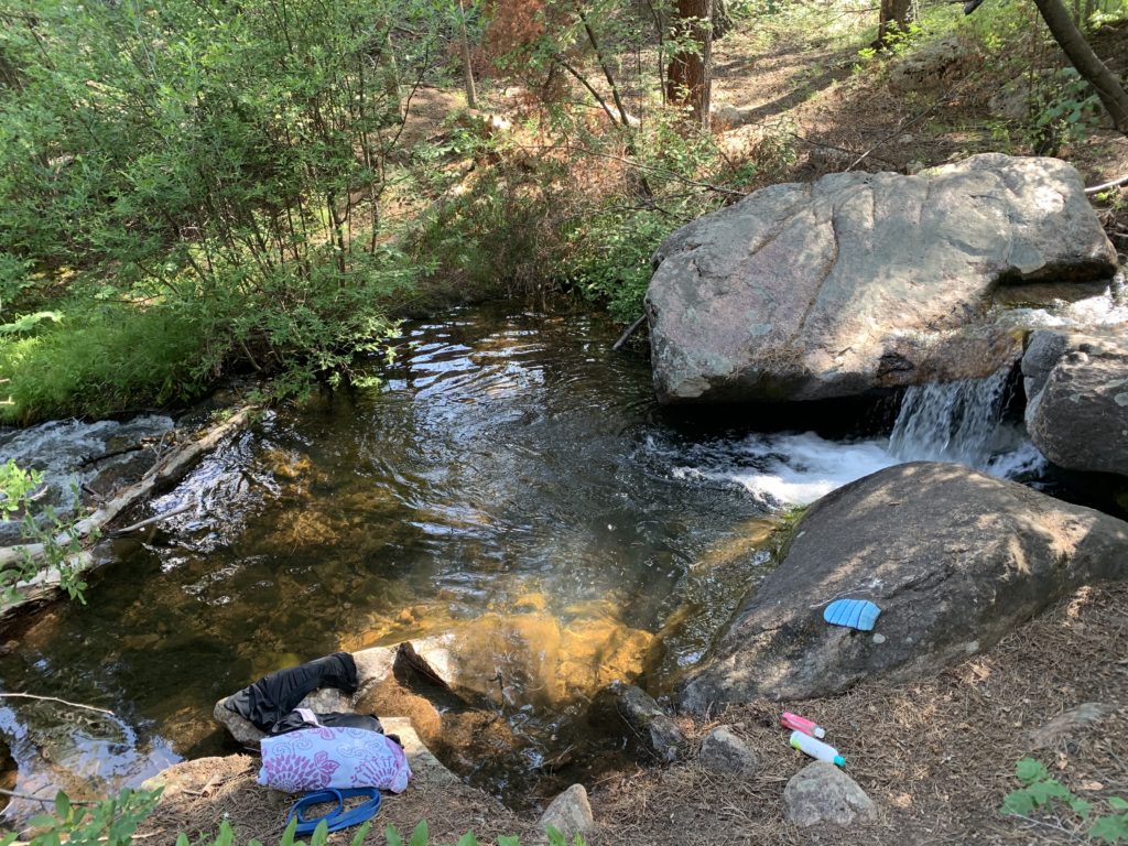
This winter’s heavy snows on the Platte River, Kenosha, and Tarryall Mountain Ranges overflow in runoff streams, suddenly disappear below granite rock piles and reappear a few hundred feet later. This unique feature is why the area is called Lost Creek.

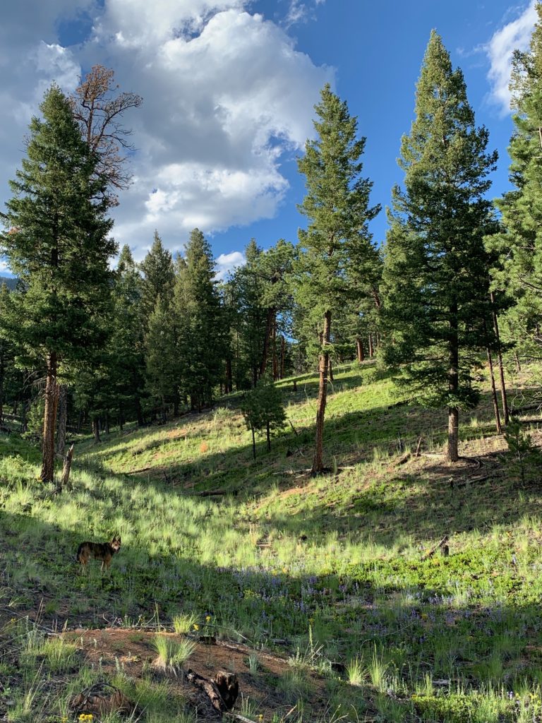
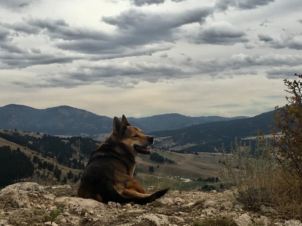
Wildlife is abundant and I rarely saw people although I was plenty entertained.

The area hums with life night and day. Bighorn sheep, deer, elk, and bobcats share the region with black bear. Owls, chickadees, bluebirds, woodpeckers, hawks, and eagles care for hatchlings in early summer nests.

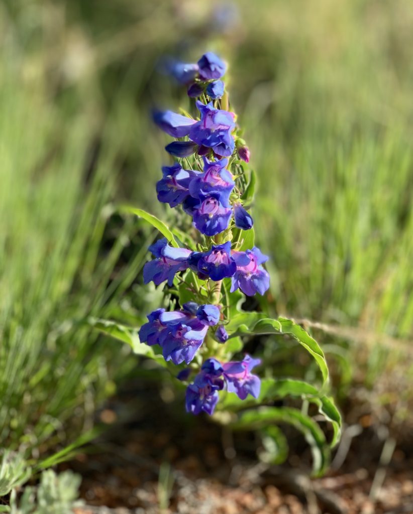
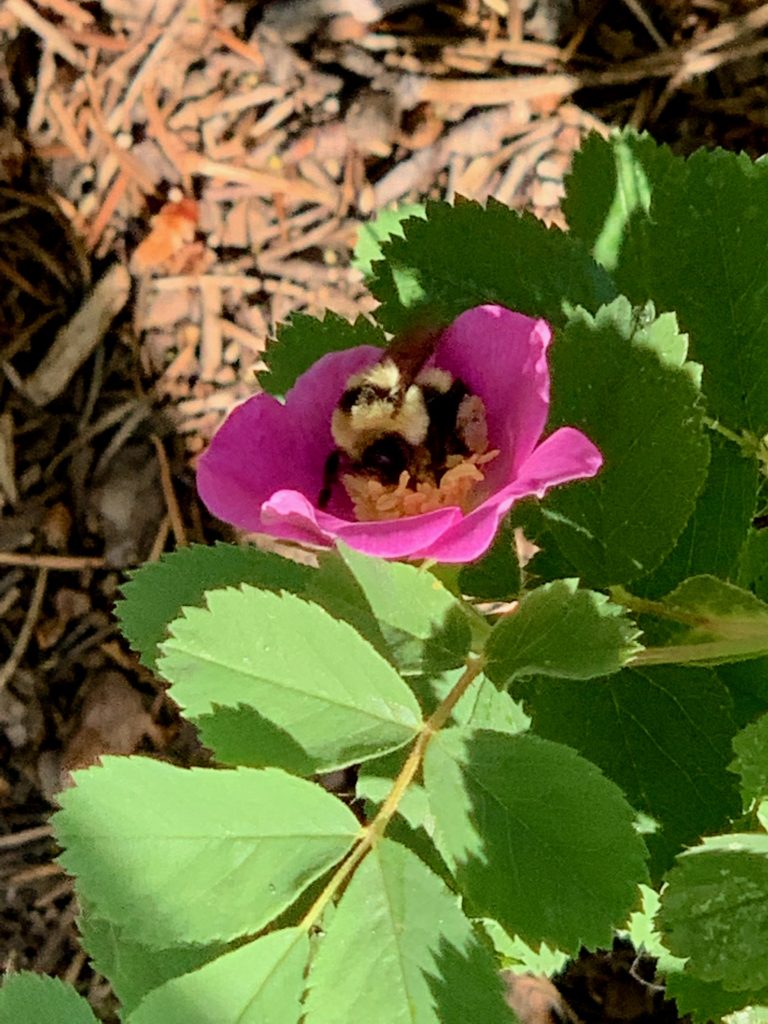
Vegetation includes a variety of pine, aspen, spruce, fir, and alpine tundra. Profuse blooming flowers with a backdrop of piney mountains fill the soul with wonder and gratitude.

Hiker’s Paradise

Wildlife is abundant, people are scarce, and 136 miles of hiking trails traverse this 120,000-acre paradise. Of those trails, 105 miles fall within the wilderness boundary where motorized vehicles are not allowed. 

It’s hoof or foot travel only and Rocky and I had plenty of company, but never saw another human on the trails.

The mountains tower between 8,000 and 12,400 feet in the Lost Creek Wilderness Area in the Pike South Platte and South Park National Forest Ranger Districts between Denver and Colorado Springs.  

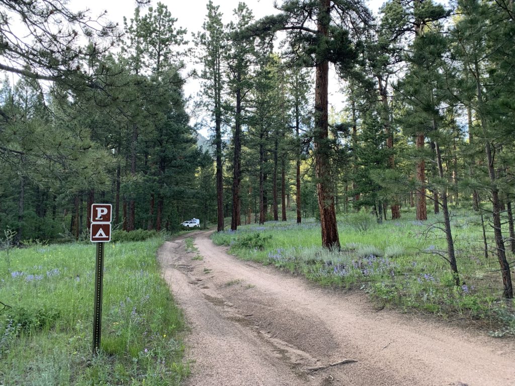
Wigwam Trail and Camping

Wigwam Trail (#609) Dispersed Camping and Trailhead is a sheltered, heavily wooded trail paralleling Wigwam Creek through the Lost Creek Wilderness Area.  

This moderate to difficult 11-mile trail has elevation ranges from 8,160 feet to 10,170 feet at Wigwam Peak. 

This trail in the Lost Wilderness Area survived the fires of 2003 intact and now provide shelter for wildlife displaced by the loss of habitat.

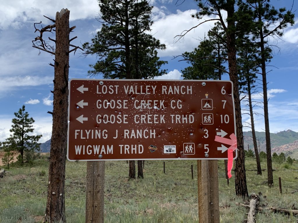
Wigwam Trail (#609) intersects the north end of Goose Creek Trail (#612), and the south end of Rolling Creek Trail (#663). It accesses Lost Park Meadow and connects to the McCurdy Park Trail.    
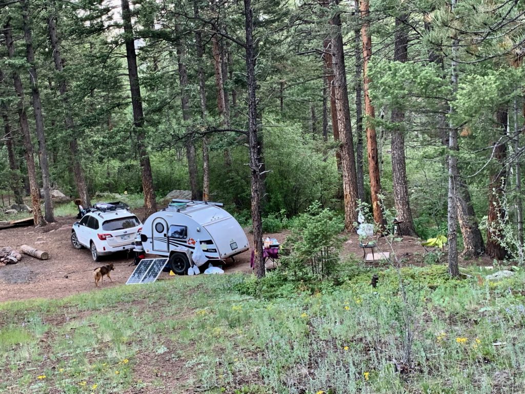
Dispersed Camping

Dispersed camping is available to set up base camp at the edge of the wilderness area. 

Fortunately folks who use this area take great care to practice “Leave No Trace” rules and philosophy, helping preserve this natural wonderland.

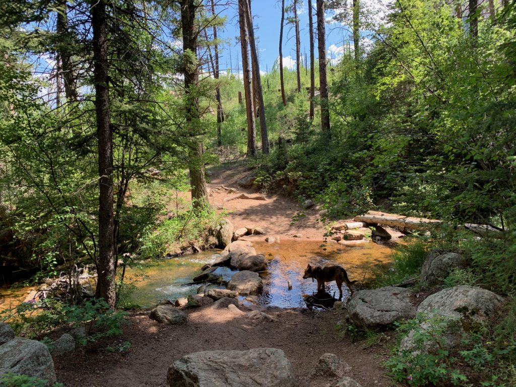
Backcountry water is available from Wigwam Creek that parallels the whole length of the trail. Lost Park Campground has potable water.  

How to get there

Coordinates: N 39.244058°, W 105.353329°

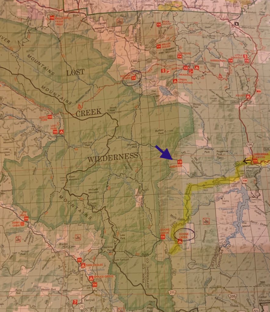
From Denver, take I-70 west to C 470 to US 285, traveling west for 23 miles to Pine Junction. Turn left at the town of Pine Junction onto Co 126, toward Pine and Buffalo Creek. Drive 21 .8 miles on Co 126. Turn left, traveling south on FS 211, which leads toward the Cheesman reservoir. Travel 2 miles and bear right at the sign pointing to Goose Creek. Drive 1.1 miles until you reach a fork, bear right on FS 560, and right at the next fork staying on FS 560. Drive 4 miles to the trailhead signs, turn left on FR 545, and drive 1 .3 miles to the trailhead.

A Day in the American Wilderness

Years of planning and many blessings transformed a mindful, minimal, offgrid life vision into reality.

Retirement is an odd word to describe my active, expansive phase of a life unshackled by time and place commitments and free to live my dream each day in the American wilderness.

Living the wilderness dream

Much of America’s designated wilderness areas are within our National Forests, Parks, Bureau of Land Management, and Fisheries and Wildlife Systems.

For me, that dream is unlimited access to wilderness. The real wild. In our country, almost five percent of public land is designated wilderness

Map created by
Wilderness Institute at the University of Montana’s College of Forestry and Conservation. 

America’s Wilderness Preservation System protects the natural, wild condition of over 109 million acres in 803 wilderness areas. That’s about the size of California.

It’s not quite my “unlimited access” dream, but better than nothing! As more people return to minimalist lifestyles perhaps we will invest more to protect the American wilderness.

This land was made for you and me

Forest Road near Lake Roosevelt, Arizona.

These public lands are owned by Americans and managed by the federal government (National Forests, Parks, Bureau of Land Management, and Fisheries and Wildlife Systems.) Access is typically free.

The Chiricahua National Forest wilderness areas are some of the most biodiverse in the Northern Hemisphere.

Mostly untouched by humans, federally-preserved wilderness areas remain Nature’s stronghold where wildlife flourishes in diverse biozones and climates.

Worth the effort to get there

My continued thanks to the West Family of Watertown, South Dakota who appeared within minutes of my need and blanketed me in quiet efficiency, gracious humor, and willingness to make my problem theirs without batting an eye.

Unpaved, often rough national forest roads open access to the edges of America’s most pristine natural settings. Motorized vehicles are not allowed within the boundaries of designated wilderness areas.

Some of the finest people I’ve met have been on the backroads leading to the American wilderness.

Maps and local resources matter

Maps of those roads, trails, and dispersed camping (boondocking) sites can be obtained online and at national forest ranger stations and headquarters.

The National Forest Service provides maps of back roads. Black and white versions are free, while more detailed, topo maps are available for $14. Many other publications are available at ranger stations. Local rangers also know their territory and are happy to share.

Once within the wilderness boundaries, locomotion is by foot or hoof. Motorized vehicles are not allowed. 

Amazing, unexpected amenities

There are no services, but fantastic opportunities to experience our country, our deepest selves, and greatest capacity when we dare to go beyond the comfort zone of civilization. 

The world’s best wilderness companion and coach Rocky the Rockstar rescued me in 2008 and is crucial in helping build and maintain the dream.